Coming soon
A pilot community, built on what pilots actually saw.
PirepAero opens on October 1, 2026 at 12:00 AM, Lisbon time. Every fact on a page is a pilot report — and nothing counts as verified until two pilots who were there say the same thing.
- 12days
- 02hours
- 16minutes
- 35seconds
Create your account now and claim your username
Registration is open today. The platform opens on October 1, 2026 at 12:00 AM — until then your account waits, and your username is already yours.
What you will find inside
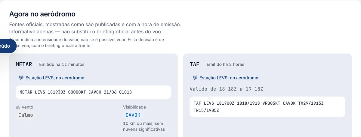
METAR and TAF, exactly as they were issued
Live weather on the page itself. The colour shows how strong a value is, never whether you can fly — that call is yours, with the official briefing in front of you.
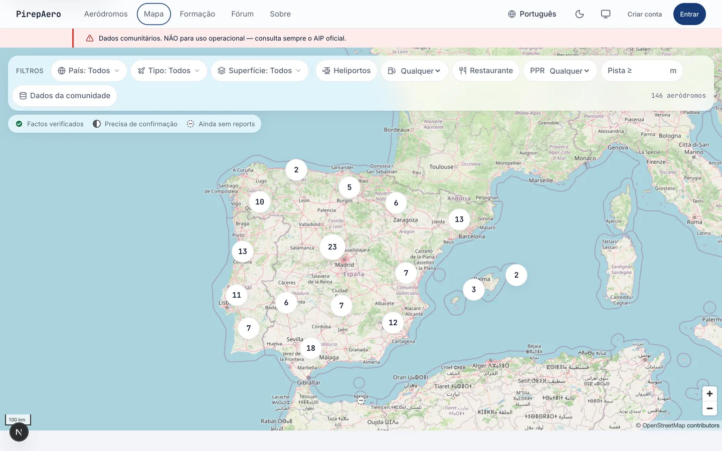
The whole map, clustered
Filter by country, surface, runway length, fuel or restaurant, and open the field you were looking for.
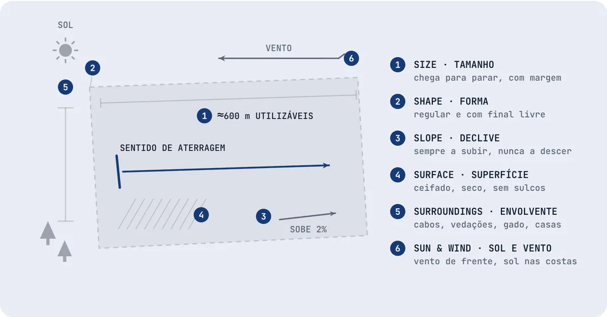
35 briefings, drawn where a drawing explains it better
EASA exercises 1 to 19, with the learning objectives, written to be read before the flight.
“I was here”, in under a minute
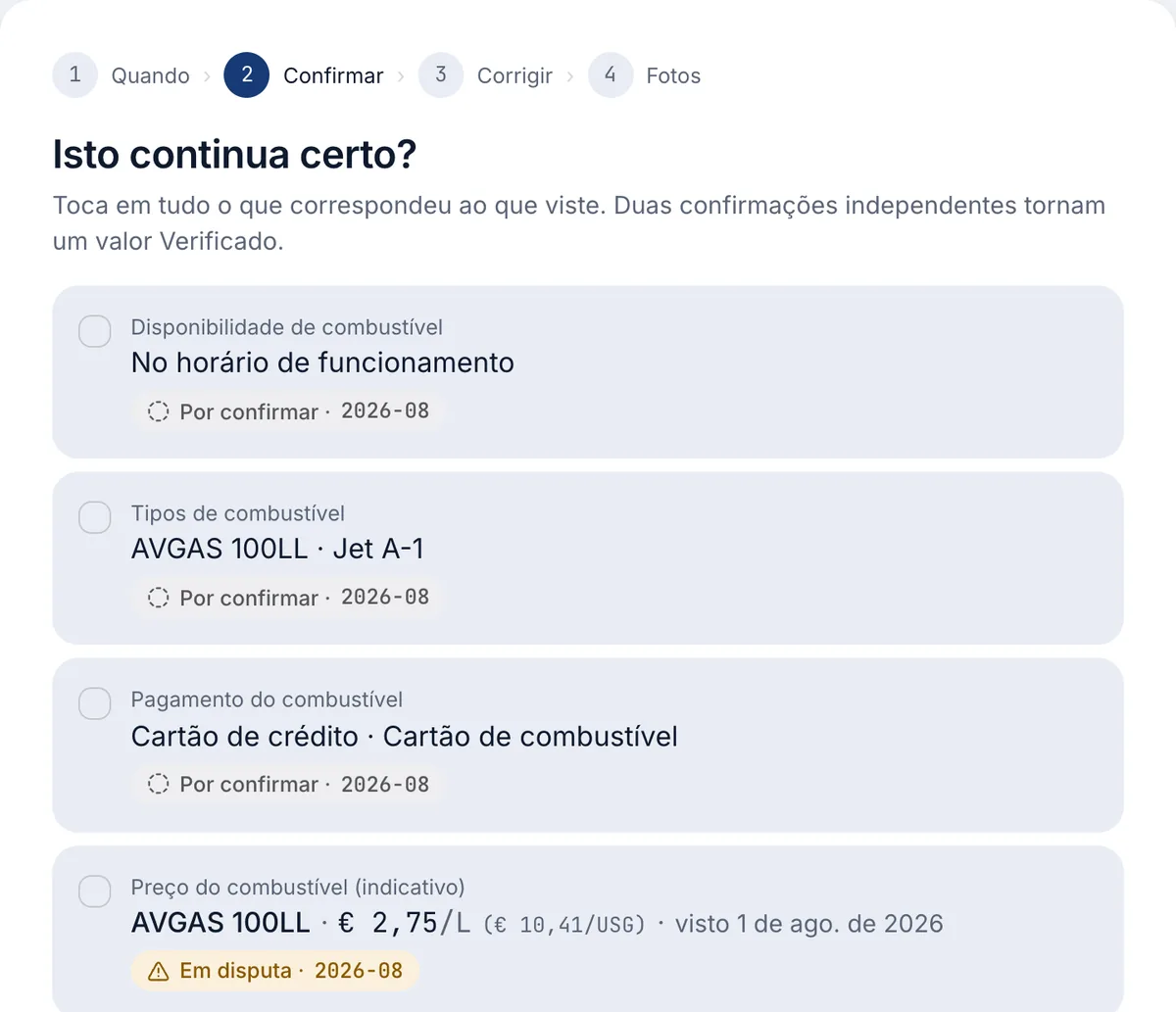
Tap what still matches, correct what changed. Two independent pilots turn a value into Verified.
Fields already photographed
Official open aerial imagery — the same images the pages show.
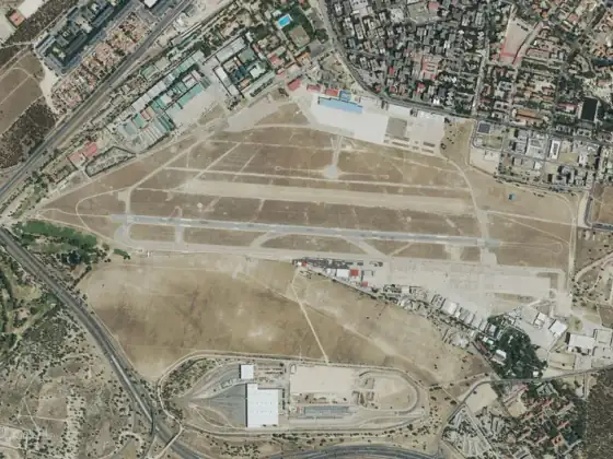
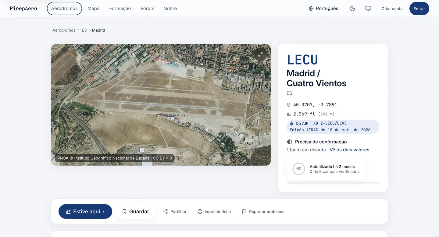
LECU
Madrid / Cuatro Vientos
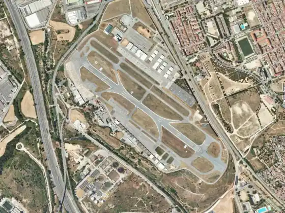
LELL
Sabadell
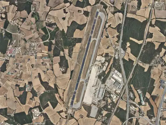
LEGE
Girona / Costa Brava
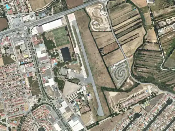
LEAP
Empuriabrava
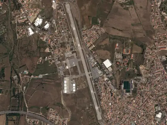
LPCS
Cascais / Tires
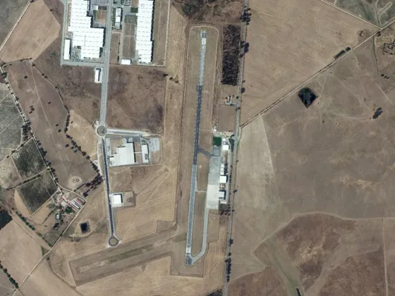
LPEV
Évora
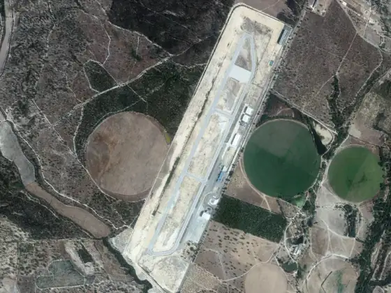
LPSO
Ponte de Sor
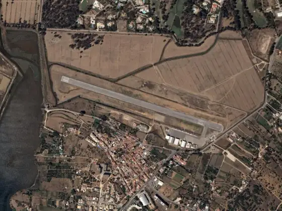
LPPM
Portimão
- PNOA © Instituto Geográfico Nacional de España · CC BY 4.0
- Ortofotos © Direção-Geral do Território · CC BY 4.0
What opens that day
167 aerodromes, 3 countries
Every aerodrome and heliport in the current AIP of Portugal, Spain and Gibraltar, each with its own page.
35 training briefings
EASA exercises 1–19, with the learning objectives, written to be read before the flight.
METAR, TAF and the field from above
Live weather on every page, next to an aerial image from official open imagery.
Confirmed by the community
A pilot reports what they found; it only becomes verified when two other pilots who were there confirm it.